

Join us on our journey.
Become part of a community committed to protecting polar bears with our free newsletter.
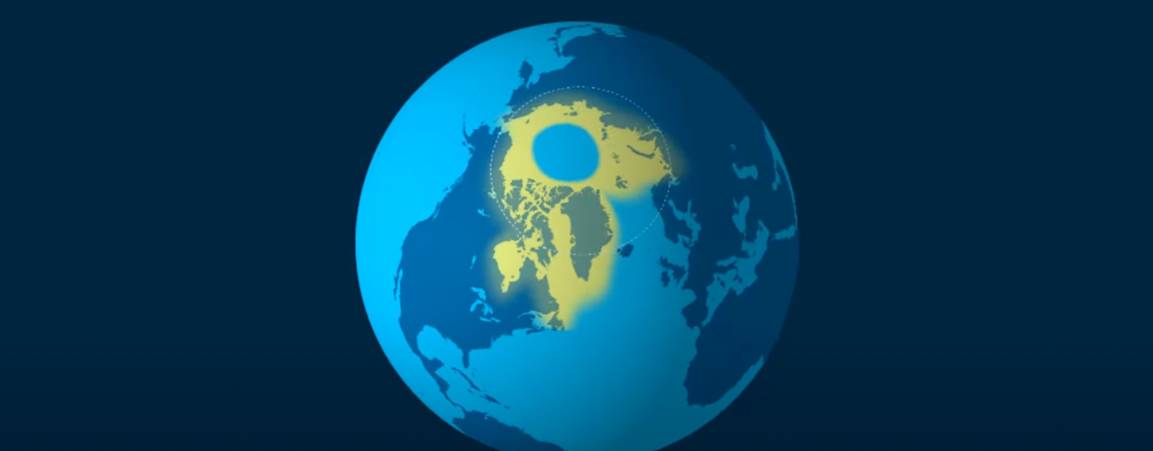
Scientists divide the polar bears’ range into four distinct ecoregions, each with different sea ice conditions.
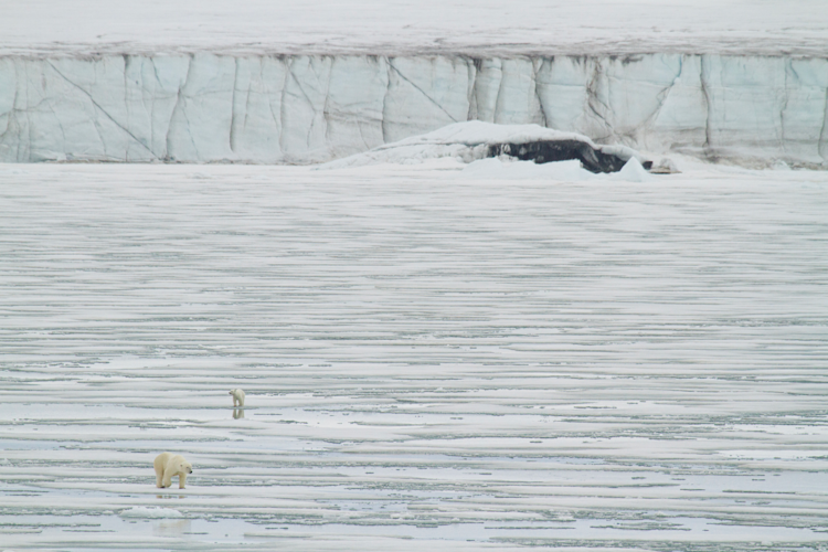
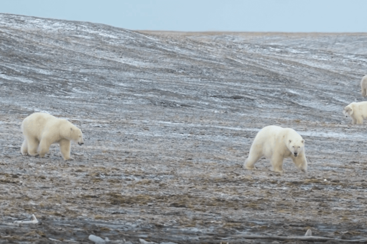
Wherever they are found, polar bears need sea ice to reach their seal prey. It is impossible to overstate its importance to polar bear life: anyone who is fortunate enough to be on the shores of Hudson Bay as the fall temperatures plunge can see for themselves how programmed the area’s bears are to head out onto the ice as soon as the bay’s surface is frozen enough to support them.
An ice-covered ocean may seem like an almost endless expanse of monochrome monotony. But not all sea ice is the same: some floes are thicker, some fresher; some are unbroken, some fractured. And the way in which sea ice forms, whether it stays in one place or is carried large distances by ocean currents, whether it persists from one year to the next or melts in summer, varies from region to region.
Indeed, so different are the dynamics of sea ice in various areas throughout the Arctic, that scientists divide the polar bear’s range into four ecoregions – a classification first proposed in 2008 by our chief scientist emeritus, Dr. Steven Amstrup. The bears in each of these ecoregions adopt different strategies to survive, and they face different degrees of threat from climate change over the next few decades.
Here is a quick look at all four ecoregions, their characteristics, where they are found, and how the polar bear populations that live there adapt to their differing conditions.
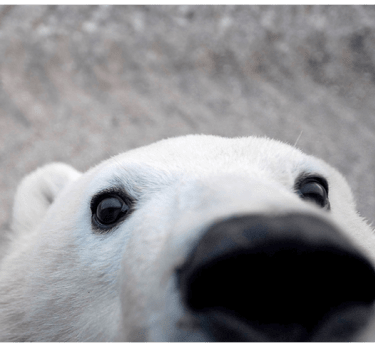
Polar bears roam across the circumpolar Arctic, where they rely on sea ice to reach their seal prey. But not all sea ice is equal. Learn about the four sea ice ecoregions, how the quality of sea ice differs across the polar bear’s range, and how we can help ensure the bears’ future by addressing climate change.

Where Is It?
Central and eastern Arctic Canada and western Greenland
What Polar Bear Populations Does It Include?
Foxe Basin, Western Hudson Bay, Southern Hudson Bay, Davis Strait, Baffin Bay
What Does It Mean for Polar Bears?
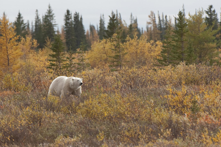
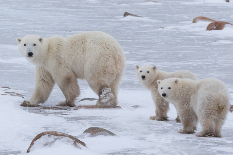
This ecoregion includes the southern edge of the polar bear range – southern Hudson Bay, for example, is on the same latitude as Scotland – so it is unsurprising that it features ice that largely or completely disappears in the summer months. The bears in this region come ashore each summer and wait on land until the ice begins to form again in fall. They include the bears of western Hudson Bay, which famously can be easily spotted in and around the town of Churchill, Manitoba. During the ice-free period, these bears undergo a prolonged fasting period when off the ice, away from their seal prey, losing roughly one kg of fat per day.. Historically, this wasn’t a problem for the bears in this ecoregion as the rich environment of Hudson Bay allowed them to gain enough weight in spring to survive during their time on shore. But the open water season is now three to four weeks longer than it was in the 1980s, straining the limits of their fat reserves.
Because the amount of time they spend on the ice is already more limited than bears in other ecoregions, the polar bears in this region are especially vulnerable to any changes in sea ice cover. Studies have shown that bears in Baffin Bay are skinnier and having fewer cubs compared to the 1990s, while the population of Western Hudson Bay has declined from 1,200 in 1987 to 935 in 2004, and 618 in 2022.

Where Is It?
Eastern Greenland, north of the Canadian Arctic Archipelago, and the northern Beaufort Sea
What Polar Bear Populations Does It Include?
Eastern Greenland, Queen Elizabeth Islands, Northern Beaufort Sea
What Does It Mean for Polar Bears?
The currents that pull ice away from the shore in the Divergent Sea Ice Ecoregion carry much of that ice across the Polar Basin to the waters and coasts of the Convergent Ice Ecoregion. There, it combines with locally formed ice and collects along the shore, providing the bears of this ecoregion with access to sea ice, and to the shallow, productive waters beneath, even in summer.
Historically, this area has seen some of highest concentrations of “multiyear” ice – the thickest, oldest ice, that builds up over years and, because of its thickness, is the most resistant to melting. The region includes the Tuvaijuittuq Marine Protected Area, also known as the Last Ice Area, because models suggest that this is the region where year-round sea ice is likely to persist the longest in a warming world. Accordingly, the bears in this ecoregion are likely to be among the last to face reproductive failure and other ecological problems because of sea ice loss. Knowledge of the polar bear populations in this ecoregion remains inadequate.
Sea ice loss will be felt here, too, by the second half of the century If steps aren’t taken to reduce greenhouse gas emissions.

Where Is It?
Coastal Alaska, the Chukchi Sea, the Russian Arctic, Svalbard, and the Barents Sea
What Polar Bear Populations Does It Include?
Barents Sea, Chukchi Sea, Kara Sea, Laptev Sea, and the Southern Beaufort Sea
What Does It Mean for Polar Bears?
In the Divergent Ice Ecoregion, ocean currents continually carry the ice offshore as it forms. During winter months, the ice that moves offshore is replaced by fresh ice that forms closer to the coast; in summer, the ice continues to move offshore but no ice forms to replace it, leaving a band of open water closer to land.
Historically, the summer ice retreat was small, and bears in this ecoregion were able to hunt on the ice over productive shallow water all summer. As the sea ice retreats farther and farther from shore in a warming Arctic, however, these polar bears are faced with a choice of coming ashore or following the sea ice over the deep polar basin where productivity is very low.
A majority of the bears on the archipelago of Svalbard, for example, which is part of the Bering Sea population, choose to drift with the retreating sea ice, wandering vast distances in search of seals; others stay on or close to the shore, focusing their feeding efforts on ringed seals on “landfast” ice (ice that is “fastened” to the coast) or glacial ice in fjords.
Bears in this region are considered among the most vulnerable to climate warming and sea ice decline. The Southern Beaufort Sea population, for example, dropped by roughly 40 percent between 2001 and 2010. Others in this region, like the Chukchi Sea population, are faring better for now due the productivity of their habitat.

Where Is It?
The islands and channels of the Canadian Arctic Archipelago
What Polar Bear Populations Does It Include?
Gulf of Boothia, Kane Basin, Lancaster Sound, M'Clintock Channel, Norwegian Bay, and Viscount Melville Sound.
What Does It Mean for Polar Bears?
The narrow channels in the Canadian High Arctic have historically been covered by sea ice all summer, enabling polar bears to remain on the ice all year long. The thickness and persistence of the ice in this region is the reason why so many expeditions in search of the fabled Northwest Passage, including the fabled Franklin Expedition of 1845, perished. Ice cover remains persistent, but particularly since 2006, the southern part of the region has increasingly seen ice-free periods late in summer.
This ecoregion, along with the most northern portions of the Convergent Ice Ecoregion, is likely to provide a last refuge for polar bears and their sea ice prey. But the bears in this region, too, will eventually be impacted by climate change without action to reduce greenhouse gas emissions.

Become part of a community committed to protecting polar bears with our free newsletter.
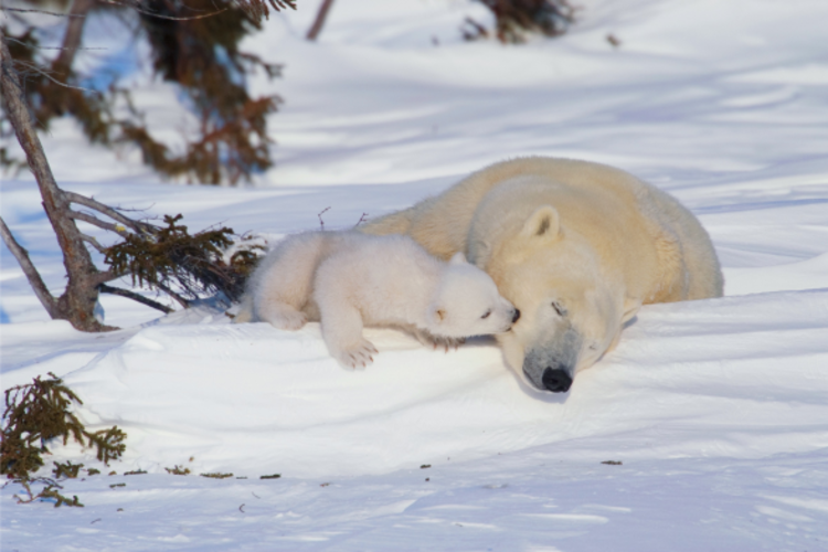
Photo: Daniel J. Cox
Become part of a community committed to protecting polar bears with our free e-news.


The actions we take today give polar bears a chance at an even better tomorrow.