Close up of a polar bear with GPS tracking ear tags

Photo: BJ Kirschhoffer / Polar Bears International

The Importance of Satellite Tracking to Polar Bear Conservation

By Dr. Kristin Laidre

MINS


02 Feb 2023

Last spring, while working in the numbing cold on the sea ice off East Greenland, I fastened a satellite collar around the neck of a sedated adult female polar bear—part of a research project to better understand how these bears are faring in a warming Arctic.

Prior to the first successful use of such collars off the coast of Alaska in 1977, scientists had many unanswered questions about polar bears, including such basics like where they roam and where they den. So much has changed since then.

Breakthrough technology

Polar bears range widely across international boundaries, occurring in low numbers across a vast and sparsely populated Arctic. Studying them in remote and large areas is incredibly challenging. Because we can’t physically follow polar bears throughout the year, satellite telemetry—which pings data from a satellite-linked radio tag to a satellite orbiting overhead—has made an enormous difference in studying polar bears. The devices allow us to track their movements and gain valuable insights, even in frigid winds, subzero cold, and the darkness of the polar night.

A female polar bear wears a research satellite collar

Photo: BJ Kirschhoffer / Polar Bears International

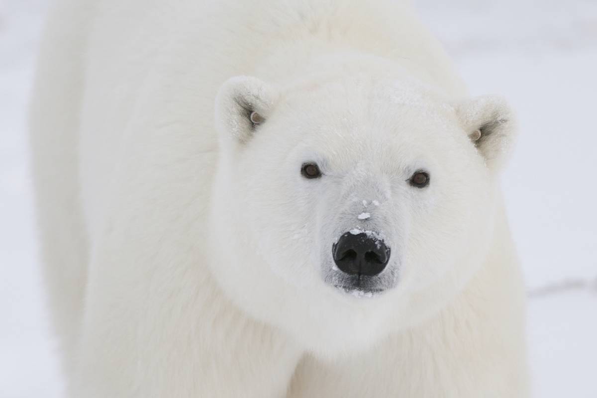
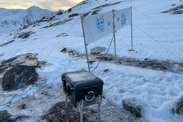
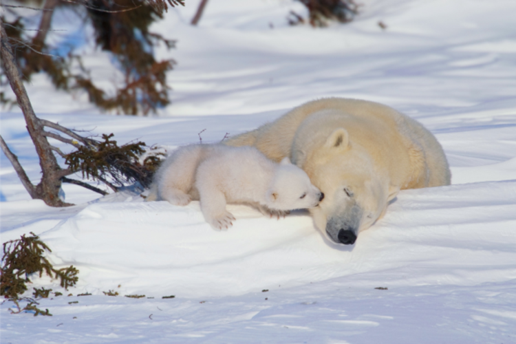
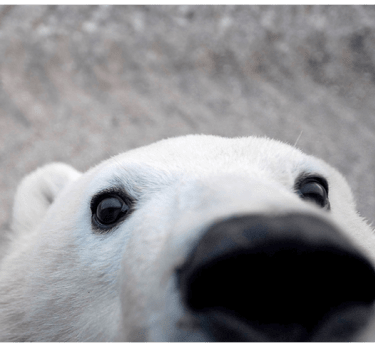
During field work, my fellow scientists and I attach radio tags to a small sample of adult female polar bears, allowing us to track them over multiple years. The data are critical to our understanding of how the bears use remote habitats and survive in harsh—and changing—Arctic conditions.

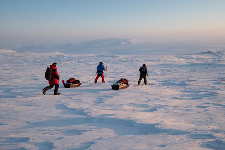
To deploy radio tags, we sedate the bears. We do this via helicopter-based darting in Greenland, although in some areas bears on land are captured in culvert traps or darted from snowmobiles. Polar bears typically remain immobilized and sedated for up to one hour, during which time we mark them (with ear tags and tattoos) or re-identify them if captured before. We also measure the bears, weigh them, and collect tissue samples. Several studies have investigated the effects of capture and handling on polar bear behavior and found no long-term negative impacts.

A long history

After the first successful use of satellite telemetry in Alaska 45 years ago, follow-up research took place in the late 1970s and early 1980s in Canada and Greenland. Since those initial studies, advances in technology, tag attachment/release methods, and satellite systems have refined the trackers and improved their ability to remotely monitor polar bears, resulting in widespread and diverse use across the Arctic.

Most satellite-linked radio tags used in polar bear research are attached as collars, and almost exclusively to adult female bears. Young bears are generally not collared to avoid potential injury as they grow, and adult males can’t be collared because their necks are wider than their heads, causing the collars to slip off. Next-generation methods including harnesses, ear-mounted transmitters, glue-to-fur transmitters, and implants have been tried without success or are being tested.

Research value

In 2022, I was the lead author of an international collaborative paper that reviewed the value of satellite telemetry in addressing 21st century conservation and management challenges. These include estimating sustainable harvest rates, understanding the impacts of climate warming, identifying critical habitat, and assessing potential impacts from human activities including tourism, resource development, and extraction.

As an example of the insights gained, early scientific debate in the 1970s focused on whether there was one or more polar bear populations across the Arctic. Scientists were able to settle the question thanks to satellite data from collared adult females. The data showed that there are multiple polar bear populations in the Arctic. It also revealed that bears have seasonal fidelity to localized areas and sometimes encounter natural obstacles that impact their movements. Since then, researchers have used satellite data to document cross-migration among populations and identify occasional long-distance movements across population boundaries—including a power-walking bear that traveled up to 5,000 kilometers in one year!

A map of polar bear subpopulation short-term trends

Polar Bear Subpopulation Short-Term Trends (2021)

For polar bear populations where satellite data have been consistently collected, the information has been critical to conservation and management. In contrast, a lack of data in some populations where collaring has waned—and in areas like most of the Russian Arctic, the Arctic Basin, and the Last Ice Area in northern Canada and Greenland where little research has been done—has led to uncertainty about the size and health of the populations there, which can have a range of negative consequences.

As sea-ice loss due to climate warming continues, satellite data have become even more critical. We now have a greater need to monitor where polar bears roam, how they use their habitat, how abundant they are, and whether populations can remain connected with each other. Climate warming is shifting the geographic ranges of polar bears—inside and outside of historical population boundaries—resulting in altered population dynamics and the appearance of bears in new areas. This includes places where polar bears are encountering people for the first time, potentially putting both at risk.

With a sea ice-free Arctic expected within decades, it will be critical to understand how bears redistribute. Some populations may become genetically or demographically isolated, with ramifications for population viability and sustainable use by Indigenous communities.  Further, increasing development in the Arctic such as new shipping routes and resource extraction will require access to contemporary satellite telemetry data to help ensure the bears are protected.

As we move into a new era of Arctic sea ice, data from satellite-tracked polar bears will allow managers to make informed management and regulatory decisions—and will be vital to the conservation of polar bears in the 21st century.

Dr. Kristin Laidre is a research scientist at the University of Washington and a biologist with the Greenland Institute of Natural Resources.

Citation: Laidre, K. L., G. M. Durner, N. J. Lunn, E. V. Regehr, T. C. Atwood, K. D. Rode, J. Aars, H. Routti, Ø. Wiig, M. Dyck, E. S. Richardson, S. Atkinson, S. Belikov, and I. Stirling. 2022. The role of satellite telemetry data in 21st century conservation of polar bears (Ursus maritimus). Frontiers in Marine Science.