Module 2B: Explore
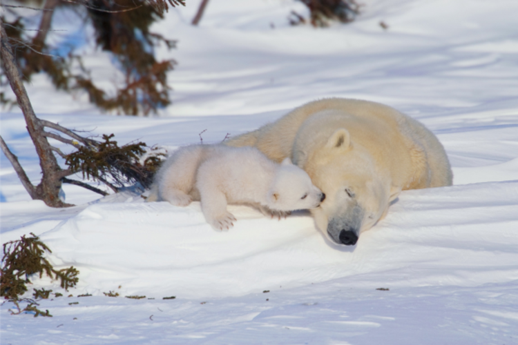
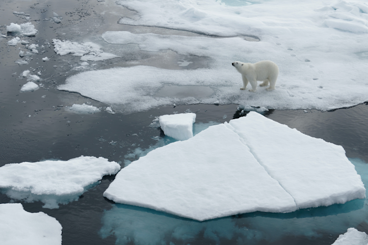
Photo: Daniel J. Cox
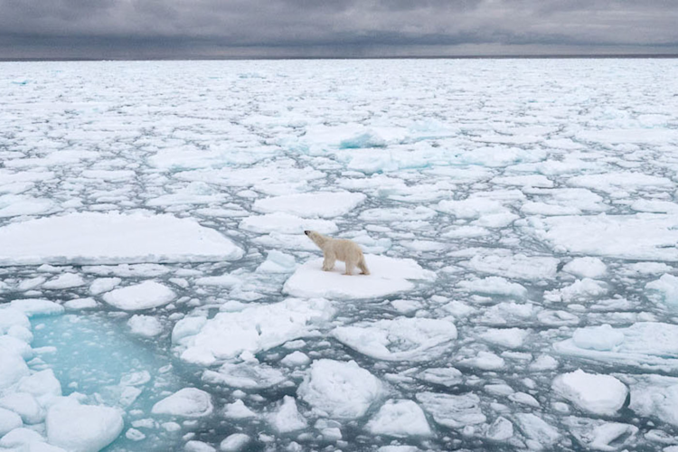
Climate Change and Sea Ice
In this section you'll learn about sea ice declines. In Module Three we'll focus on the impact on polar bears.
An animal's habitat is a critical component when developing a conservation plan: identification of current habitat and future trends in habitat, as well as threats to them, are fundamental components of conservation biology and species management. That's why understanding Arctic sea ice is important to any discussion of polar bears and how to save them. Arctic sea ice is a critical environmental component of the Arctic food web and it’s particularly important for polar bears. Climate change is impacting the Arctic at a faster rate than anywhere else on the earth.
Despite year-to-year variation, satellite data shows that the September sea-ice extent has declined more than 12% per decade since the satellite record began in 1979.
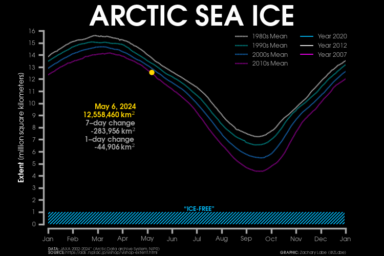
Via https://zacklabe.com/arctic-sea-ice-extentconcentration/
Step One
Read the following and watch the videos. Keep track of any questions you have along the way.
An Introduction to Sea Ice
Sea ice is found in polar oceans. On average, sea ice covers about 25 million square kilometers (9,652,553 square miles) of the earth, or about two-and-a-half times the area of Canada, although this is decreasing. Because most of us do not live in the polar regions, we may live for several decades and never see sea ice. Nevertheless, it is a critical component whose status influences the climate on a global scale.Visit the National Snow and Ice Data Center (NSIDC) to learn All about sea ice. You will get answers to several questions about sea ice, including:
What is sea ice?
Why is sea ice so important, and why do scientists study it?
What is the difference between sea ice, icebergs, glaciers, and lake ice?
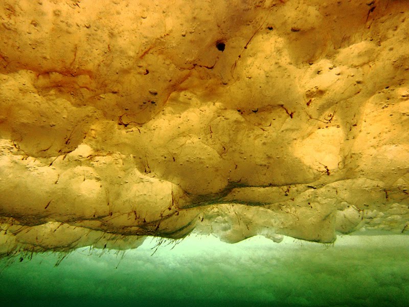
An integral part of the food web: algae growing underneath the Arctic sea ice, as first described in Activity 1B.
Measuring Arctic Sea Ice
Scientists carefully track sea ice coverage in the Arctic as one of the tools for measuring the impacts of climate change. Understanding basic terminology will help you interpret reports and graphs.
Extent is perhaps the most common way to express the geographic distribution of sea ice. You can think of sea ice extent as being defined by the outer boundary or edge of the ice. Sea ice area, on the other hand, is the portion of the sea that is actually covered by sea ice. Typically, these values are very similar. But, sometimes there can be extensive areas of open water within the outer bounds of sea ice (the extent). At such times, the number of square miles or square kilometers included in the sea ice extent would exceed the sea ice area.
Both sea ice area and extent are measured by sensors carried on satellites. The most commonly reported sea ice measurement is extent. The minimum extent typically occurs in September at the end of the summer melt period. In contrast, the maximum extent typically occurs in late March, at the end of the coldest time of year. There have been dramatic changes in Arctic sea ice extent in the last 30+ years and while sea ice extent and area show natural variability from year to year, the overall trend is downward.
Arctic Sea Ice Loss
Decades ago, the majority of the Arctic's winter pack ice (sea ice not necessarily attached to land, but which drifts together into a large mass) was made up of thick, perennial (multi-year) ice. The sea ice environment is dramatically different now than it was at the beginning of the satellite record in 1978. For example, very old ice is now extremely rare. The fact that Arctic sea ice is less expansive in the summer and thinner and more volatile in winter has ramifications for all Arctic life, and for the weather and climate at lower latitudes. This video describes how Arctic sea ice is tracked.
This next animation tracks the relative amount of sea ice of different ages from 1987 through early March 2016. The video depicts changes in both sea ice extent and sea ice thickness or volume. The white ice represents the oldest multi-year ice. As the color shades from white to ever darker blue you are traversing from older to younger ice. The deepest blue represents open water. When viewing, you will note the declines in the extent and thickness of the sea ice.
Finished?
Continue on to Module 2C – Reflect.